![]()
|
|
|
|
Operating the SDS Tool
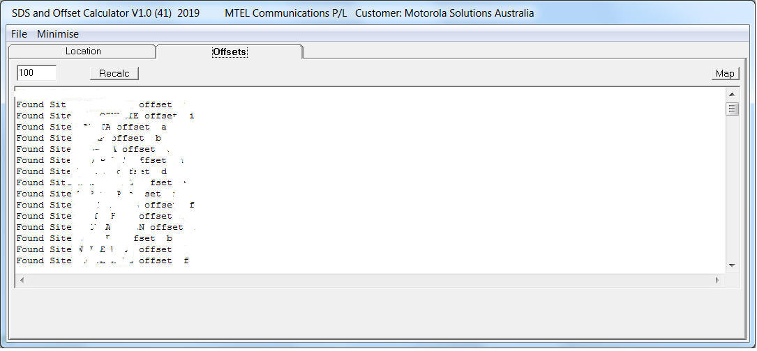
On starting the application: The SDS Tool will load the database and show the sites as they are loaded into the site array. Note the near by distance is initially set to 100 kilometres. As each site loads it will display the Alias for the site and its current offset letter designation.
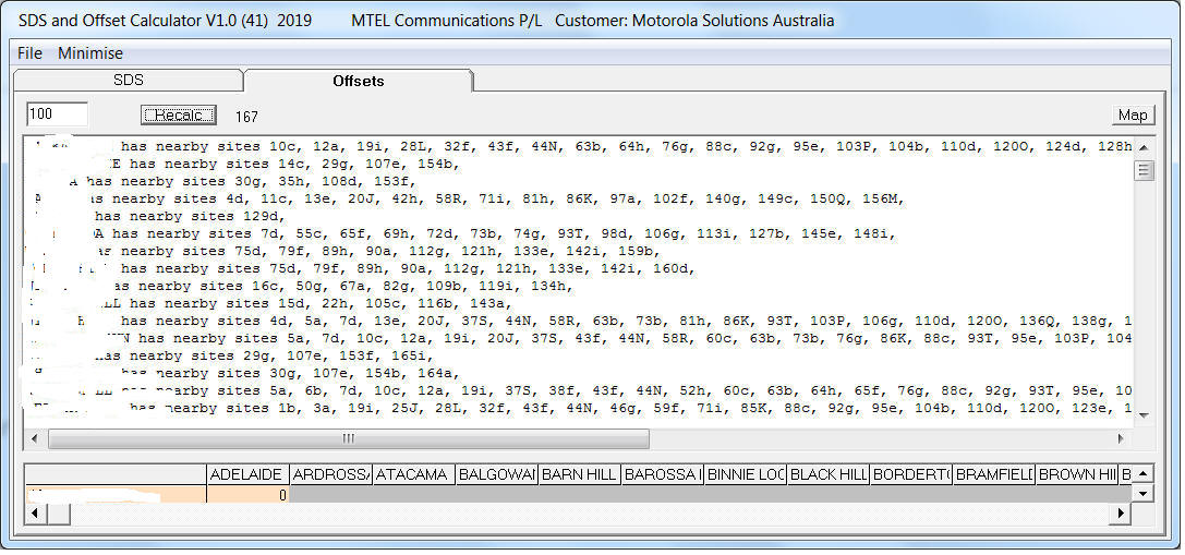
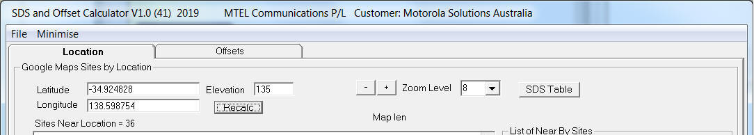
To start the calculation, hit the Recalc button. To change the NearBy distance simply type in a new value and hit the Recalc button.
The Tool will start by displaying the site grid. Then it will create the SitesNearMe lists. The Offset tab is now selected by default. At this point the site array is now complete and any site can now be examined and its near by sites displayed in a Google Static Map, by hitting the Map button.
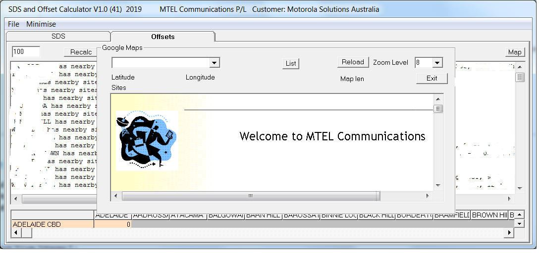
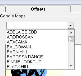
If the application has an internet connection available it will display the MTEL Communications website. Click on the drop down list to select a site.
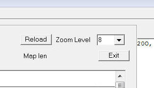
A map of the site and its surrounding sites will be displayed. The offset value for the site is displayed in a coloured marker. The Zoom level can be changed and the site re-selected to get a change in maps appearance.
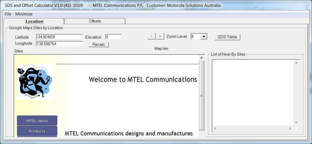
The SDS has a second tab which is the SDS by Location. Hit the Location tab.
The Location tab provides a GPS location in decimal Latitude, Longitude and the height to be entered for the location. The tool then calculates which sites will affect the location based on distance site height and curvature of the earth.
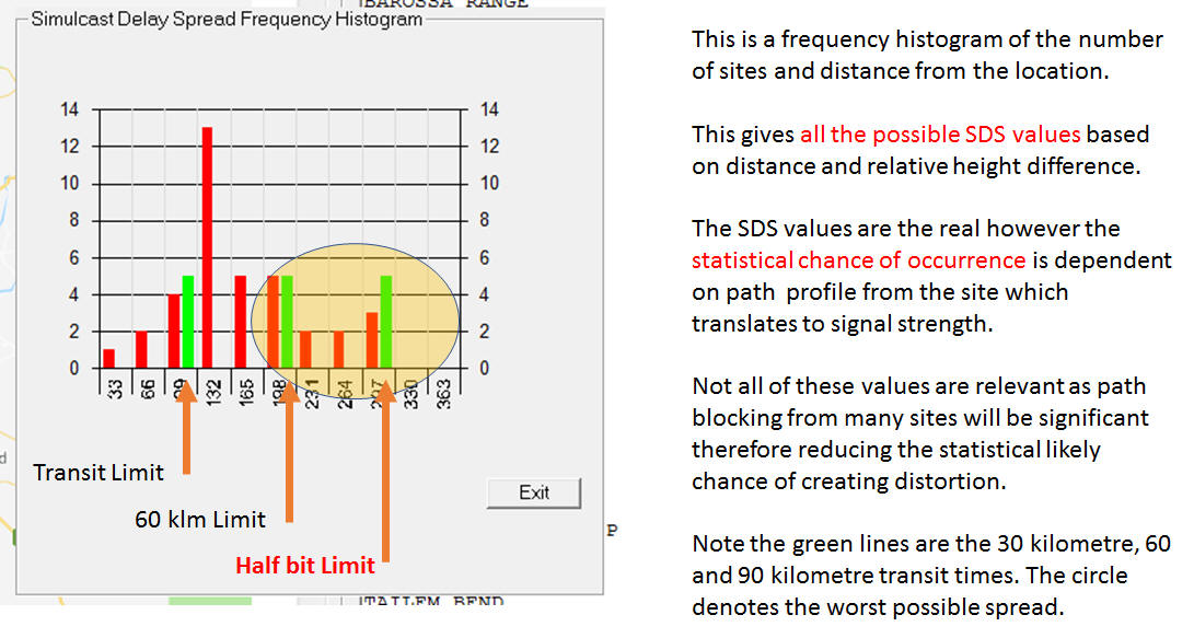
Clicking on the SDS table gives a histogram of the number of sites and distance from the location. The green lines are the 30 kilometre, 60 kilometre and half bit delay times in microseconds.
|
|
|